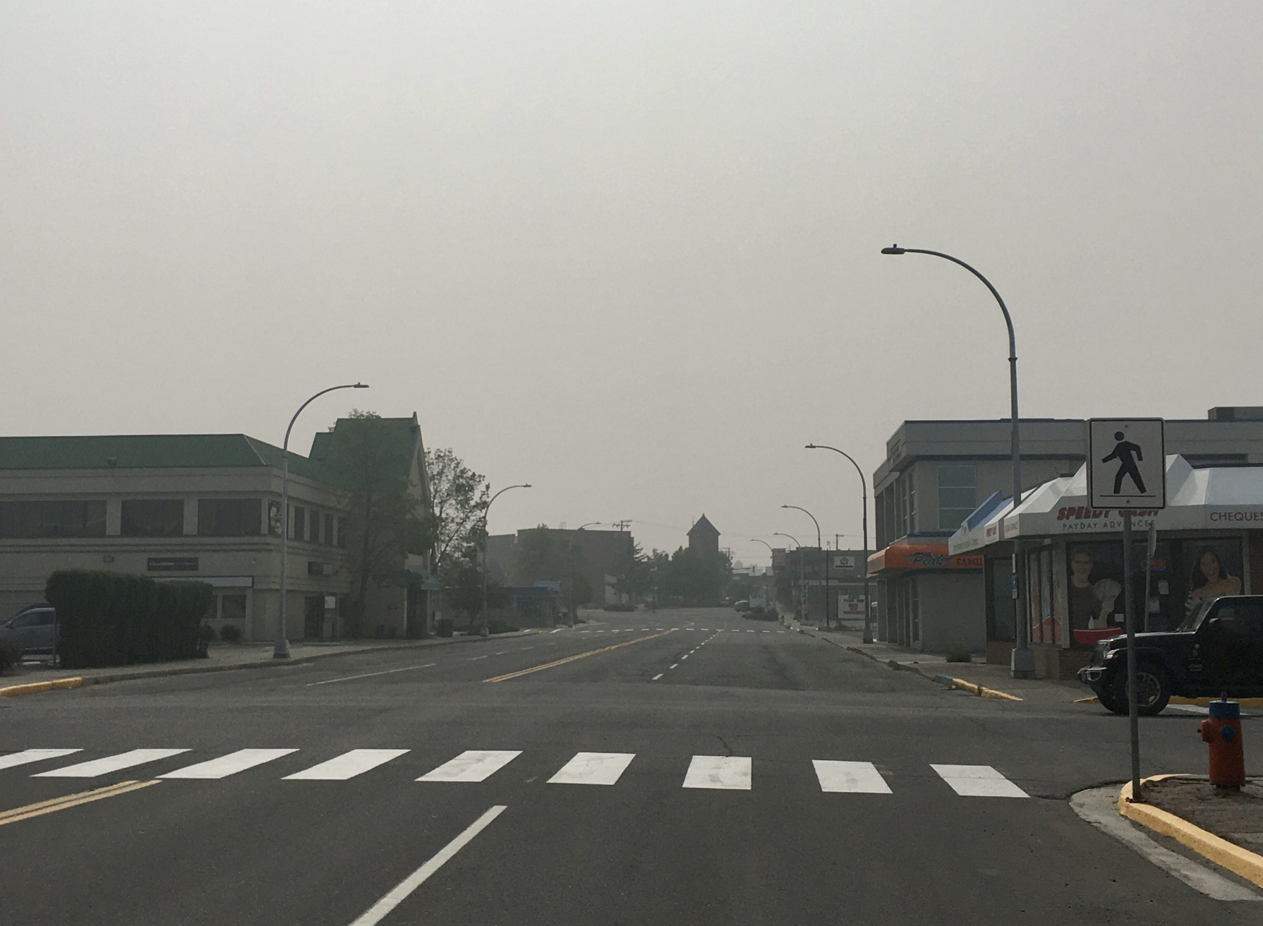
Wildfire smoke from within B.C. and the United States is negatively affecting air quality across the West and East Kootenays this weekend.
On Saturday, the B.C. Air Quality Health Index was a “10+” for the West Kootenay and Kootenay Boundary and a “10” for the East Kootenays. Both of those ratings are to determine health risk. The B.C. Air Quality Health Index begins with a “1” for a low health risk up to “10” for high health risks.
The West Kootenay’s air quality station is based in Castlegar, while the East Kootenay’s is stationed in Cranbrook.
MORE: B.C. Air Quality Health Index (B.C. Government)
“Smoke forecast models indicate the potential for a significant push of smoke into B.C. throughout the weekend,” reads a Smoky Skies Bulletin, which is in effect for the majority of the province. “The anticipated smoke trajectory indicates that the areas impacted will grow to the north and east as the weekend progresses with the most widespread impacts expected on Sunday.”
“With falling temperatures overnight, temperature inversions in mountain valleys can increase the likelihood of smoke being trapped near the ground.”
The B.C. Government said localized wildfires including the Talbot Creek Wildfire north of Castlegar, the Woodbury Creek Wildfire northwest of Nelson, and the Doctor Creek Wildfire southwest of Canal Flats, are to blame for some of the smoky impacts. However, long-range transport from hundreds of wildfires burning in the western United States in Washington, Oregon, and California are also hampering air quality.
MORE: Smoky Skies Bulletin – September 11, 2020 (B.C. Government)
On Monday, September 14th, the B.C. Government may issue another Smoky Skies Bulletin to update for the current conditions.


