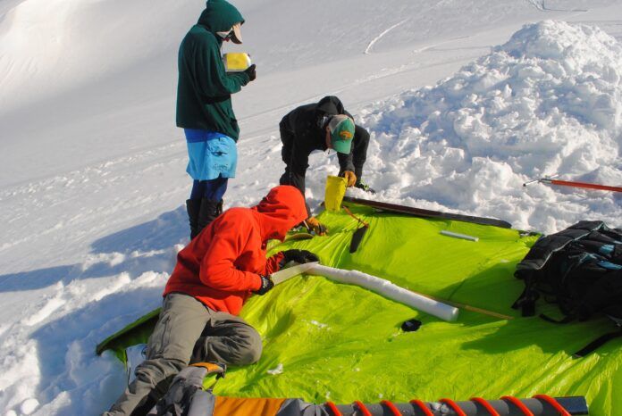
Significant precipitation in February saw the West Kootenay snowpack increase to 90 per cent.
That figure is included in the latest snow survey and water supply bulletin from the province, dated March 1 and released Wednesday. It’s up from 84 per cent in February and is part of a province-wide increase from 79 per cent to 94 per cent, which is considered within the range of normal.
“The West Kootenay is a mixed bag with individual stations but nothing really dramatic in the sense of any one particular station being well above or below normal,” hydrologist Jonathan Boyd of the B.C. River Forecast Centre said.
The stations range from a low of 76 per cent to a high of 109 per cent.
“Based on the number of stations, we would consider anything within 10 per cent of normal to be classified as normal,” Boyd said. “So it’s a healthy snowpack. This is maybe the most ideal situation.”
When the snowpack is too low, there’s the risk of drought, and when it’s too high there’s the risk of flood.
In the East Kootenay, the snowpack is 89 per cent, while in the Boundary it’s 123 per cent, which Boyd said raises concerns, although it isn’t the sole factor at play. Grand Forks was hit with severe flooding 2018 following a high snowpack, late start for the melt, and hot weather followed by heavy rain.


